
Egypt, Esri discuss climate resilience, spatial planning cooperation
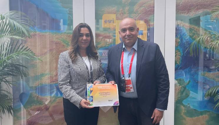
Egypt’s Minister of Local Development Manal Awad met with Sohail Elabd, Director of International Strategies at US-based geospatial intelligence firm Esri, to discuss expanding the use of geographic information system (GIS) technologies in urban planning and climate resilience, the Cabinet said Tuesday.
Talks focused on applying GIS tools to monitor spatial changes, support disaster early warning systems, and strengthen climate adaptation efforts—particularly in vulnerable coastal cities. The two sides reviewed a predictive system developed to help governments prepare for extreme weather and mitigate climate risks.
The meeting also explored potential collaboration on deploying GIS in project tracking, infrastructure planning, and the development of national climate response strategies.
Minister Awad and Elabd agreed that Esri will send a delegation to Cairo to draft a cooperation protocol aimed at integrating advanced geospatial solutions into Egypt’s sustainable development efforts.
Attribution: Amwal Al Ghad English
Subediting: Y.Yasser