
Egypt to expand GIS cooperation with Esri
Egypt’s Ministry of Local Development has agreed to deepen cooperation with global geospatial technology firm Esri, paving the way for a formal partnership to expand the use of Geographic Information Systems (GIS) across local governance and urban planning.
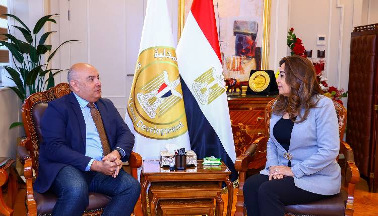
According to a Cabinet statement, Minister of Local Development Manal Awad met on Saturday with Esri’s Director of International Strategies, Sohail Elabd at the ministry’s headquarters in the New Administrative Capital, alongside Esri North Africa’s CEO Hassem Hemeda
The minister thanked Esri for its support in enhancing local services through GIS applications, which helped the ministry secure the 2025 Special Achievement in GIS Award at Esri’s User Conference in San Diego, California.
Talks focused on advancing projects such as the Egyptian Cities Atlas, using GIS to track and analyse spatial changes, and improving local project monitoring. Esri reaffirmed its commitment to providing expertise to solve local challenges, streamline public services, and strengthen Egypt’s spatial data infrastructure.
The two sides will coordinate on a cooperation protocol to maximise GIS applications in urban planning, project oversight, and other ministry initiatives.
Attribution: Amwal Al Ghad English
Subediting: M. S. Salama
Subediting: Y.Yasser