

Egypt signs agreement for 110,000-sq-km seismic survey in Western Desert
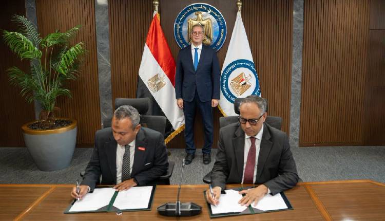
Egypt’s Ministry of Petroleum and Mineral Resources signed an agreement on Thursday between the Egyptian General Petroleum Corporation (EGPC) and Arabian Geophysical and Surveying Co (Ardiseis) to conduct an extensive 2D seismic survey across several concession areas in the Western Desert, covering up to 110,000 square kilometres, equivalent to around 11 per cent of the country’s total area.
The project falls within the ministry’s five-year plan to intensify exploration activities by providing updated geological and seismic data to identify promising petroleum opportunities more accurately and encourage further investment in the sector.
The programme will cover extensive areas across Matrouh and New Valley governorates, including locations that have not received sufficient seismic coverage or require updated data.
Through the project, EGPC aims to modernise the seismic database of promising areas in the Western Desert and improve understanding of their geological structures and subsurface formations, supporting the identification and assessment of areas with potential petroleum accumulations.
The project is expected to expand opportunities for offering new concession areas to exploration companies, attract further investment, and intensify exploration and drilling activities.
It will also support efforts to maximise the Western Desert’s petroleum potential, increase domestic production, and narrow the gap between production and consumption.