

Egypt to begin 18,000-sq-km offshore seismic survey within two weeks
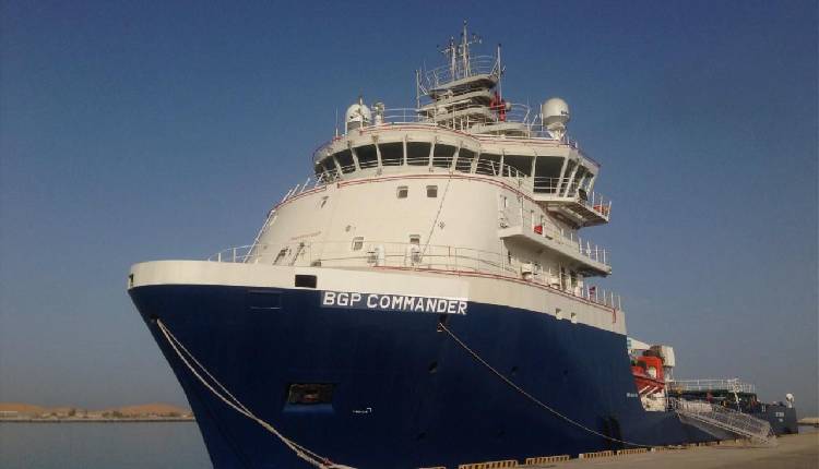
Egypt will begin the first phase of an advanced offshore seismic survey covering around 18,000 square kilometres in its Eastern Mediterranean waters within the next two weeks, Petroleum Minister Karim Badawi said on Sunday.
The survey will use ocean-bottom node (OBN) technology to produce more accurate images of geological structures beneath the seabed, helping identify promising gas exploration areas, improve the selection of exploratory drilling sites, and reduce technical risks.
The project will be implemented by the Egyptian Natural Gas Holding Company (EGAS) in cooperation with a consortium comprising SLB and Viridien. It is part of a broader seismic survey programme covering up to 95,000 square kilometres of Egyptian waters in the Eastern Mediterranean, aimed at building a broader geological database to assess undiscovered hydrocarbon resources.
Badawi said improved seismic data would help companies evaluate exploration prospects more accurately and direct investment towards the most promising opportunities. Processing and interpreting the data would also help turn geological findings into investment opportunities for international companies, supporting further exploration and drilling and increasing the potential for new discoveries to boost domestic natural gas production.
Preparations for the survey are under way, with the offshore operations vessel Commander having arrived at Port Said. Two additional vessels are expected to join it before data acquisition begins.
Operations are scheduled to begin in the Denise area off Port Said and the Ras El Bar area, with work in both areas planned to continue until the end of 2026. The consortium is also completing technical and logistical preparations to sustain survey operations during 2027.
Subediting: Y.Yasser